 Catalogue PIGMA
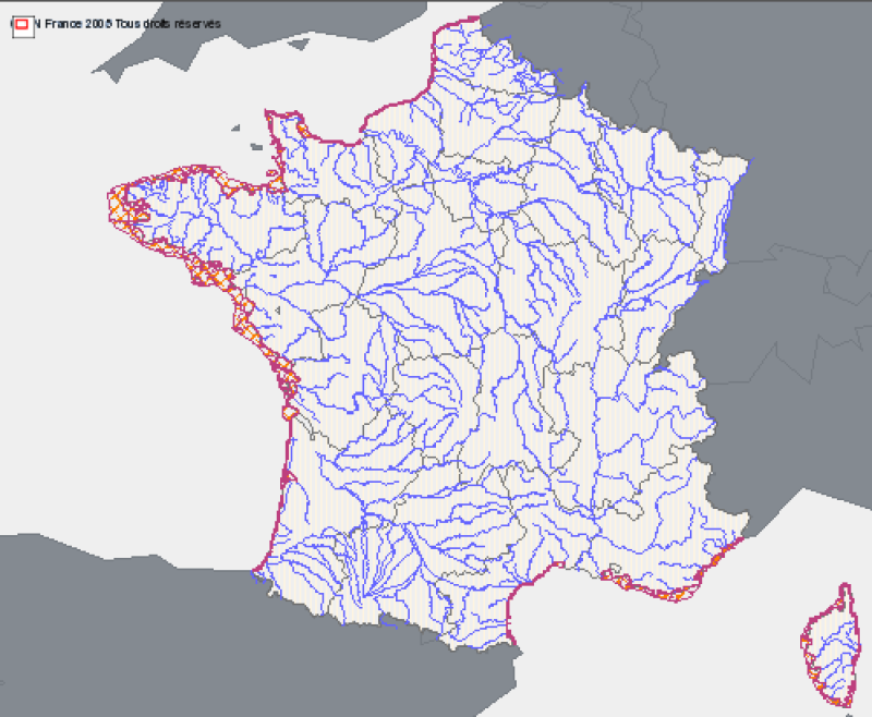
Inland waters
Type of resources
Available actions
Topics
Keywords
Contact for the resource
Provided by
Years
Formats
Representation types
Update frequencies
status
Scale
-
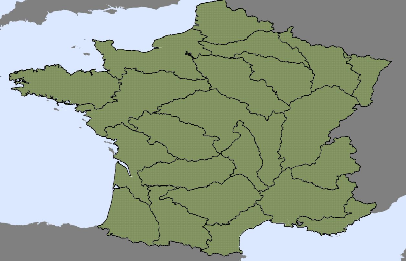
The territorial organization of flood warning has two components: - The SCHAPI or central service for Hydrometeorology and support for flood forecasting, - 22 services for flood forecasting (SPC), replacing, since 2002, the 52 flood warning services (SAC) existing. The legal framework for flood forecasting is defined in the law relating to natural and technological hazards, adopted on 30 July 2003.
-
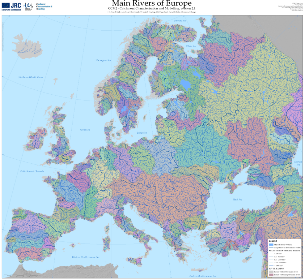
The Catchment Characterisation Model (CCM2) database covers the entire European continent, including the Atlantic islands, Iceland and Turkey. It includes a hierarchical set of river segments and catchments based on the Strahler order, a lake layer and structured hydrological feature codes based on the Pfafstetter system. It allows for analysis from the regional to the continental scale, corresponding to traditional mapping scales of up to 1:500,000. CCM2 covers an area of about 12,000,000 square kilometers and includes more than 2,000,000 primary catchments. These can be aggregated to drainage basins at different hierarchical levels, forming, for example, about 650 river basins of more than 1000 square kilometers. CCM2 further includes a coastline, fully congruent with the river basins, and some 70,000 lakes. The layers are generated from a 100 meters resolution digital terrestrial elevation model. The following layers are available: Seaoutlets: the major river basins, Main drains: the major rivers, Lakes: all surface water larger than 25x25 metres, Coastlines: coast line extracted from Image2000 imagery, River segments: Drainage channels from the primary catchments, Catchments: Primary catchments. This data-set refers to Lakes and River basins.
-

Maisons éclusières sur les départements de la Gironde et du Lot-et-Garonne.
-
Zones corresponding to the delimitation of major watersheds and related marine areas in the Seine-Normandy basin for the assessment of pressures on the different water masses on the Normandy coast and marine sub region English Channel - North Sea. Nutrient discharges from industries and communities.
-
Physico-chemical monitoring stations are part of a network under the responsibility of the water agencies. Regarding the scope of strict thematic contribution "Hydrology," the monitoring stations do not come into account because they only measure the physico-chemical quality of the rivers. These stations are used only for calculations under fluvial inputs of pollutants / nutrients.
-
Selection of flow gauging stations of the French rivers (accessible via the central bank administered by the HYDRO SCHAPI) on the basis of hydrological function and monitoring stations. The data bank HYDRO stores measurements of water depth (variable time step) from 3500 stations (including 2400 which are currently in service) located on French rivers and provides access to descriptive data stations (main purpose, precise location, measurement quality, history, data available ...)
-
Le référentiel inondation Gironde (RIG) est un outil d’aide à la décision. Il vise à apporter une connaissance précise des caractéristiques morphologiques du territoire et une modélisation hydraulique des principaux phénomènes dynamiques de crue influençant directement les inondations sur l'estuaire de la Gironde. L'objectif est ainsi de permettre à l’ensemble des partenaires d’orienter des études en vue d’améliorer ou d’optimiser la protection et la gestion des zones inondables du territoire. Le RIG, modèle hydraulique, s'appuie sur un jeu important de données (topographie, bathymétrie, digues, ouvrages, foncier, marégrammes, orientation du vent, etc.).
-

Prises d'eau sur les départements de la Gironde et du Lot-et-Garonne.
-

Sites d'écluse sur les départements de la Gironde et du Lot-et-Garonne.
-
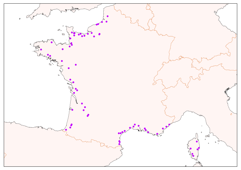
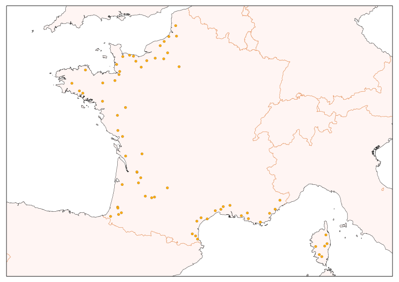
A coastal water body is a discrete and significant element of surface water located between the baseline from which to measure the breadth of territorial waters to a distance of one nautical mile. Correspondence reporting of the WFD (Water Framework Directive) : This entity corresponds to the concept of Coastal Water Body (CWBODY) of WISE.